Dropped Lucky and Bucky off at the boarder in Montrose. Lucky is too old for expeditioning and Bucky can't climb the steep summits. This is the official goodbye to Lucky at Montrose:As high as I could reasonably drive with a sedan. My trailhead at 10,200 feet. The actual trailhead is at 10,800':
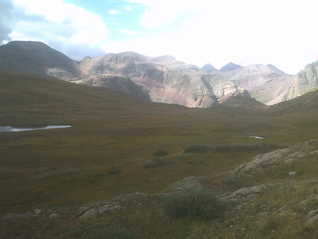
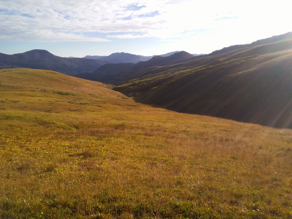
Hiked up from the 10,200' camp to the continental divide at 12,700' elevation, from where the first six pictures were taken. This hiking stretch of the divide is about ten miles long:
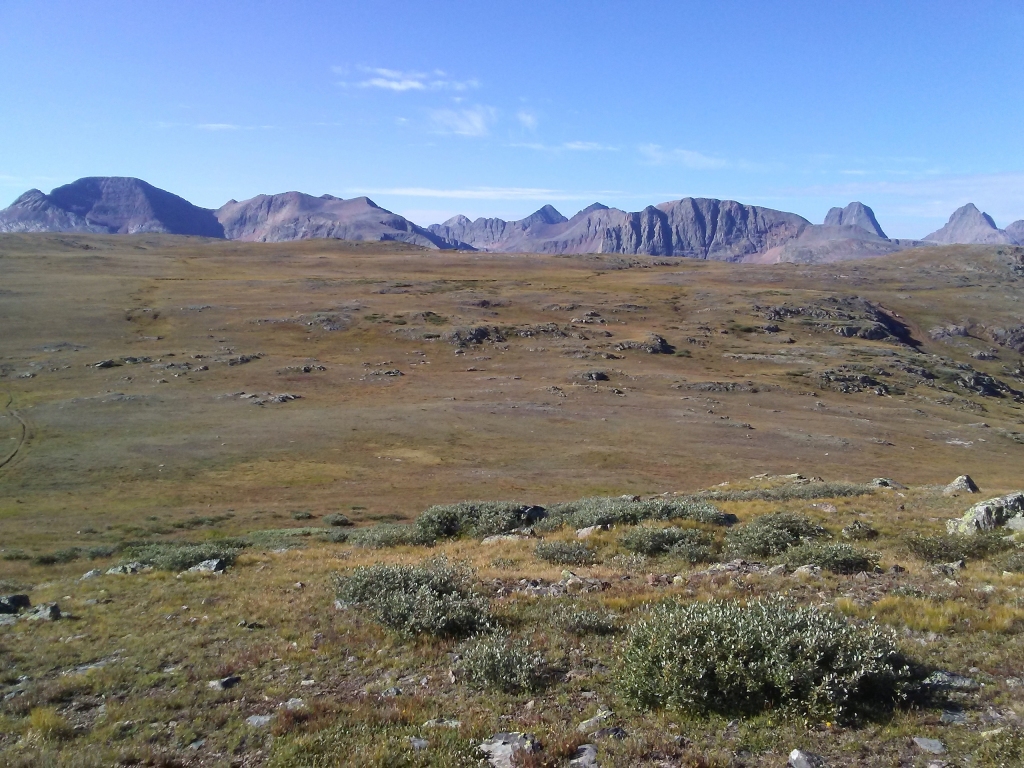
Headed for these mountains which are beyond the next pass to hike over. (The trail arcs way around):
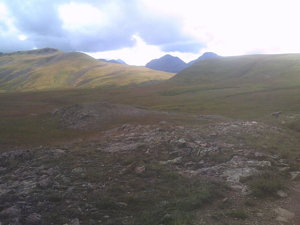
Into lower elevation:
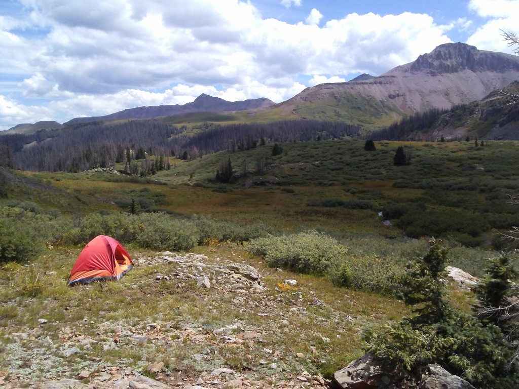
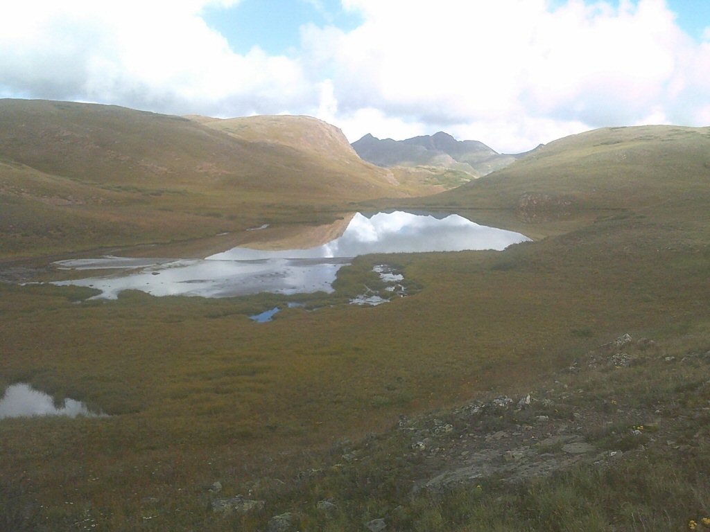
Camped below Kite Lake at 11,200 feet:
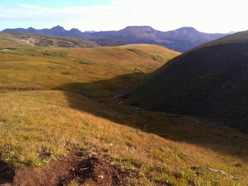
Hiking down after cresting the next (12,800') pass:
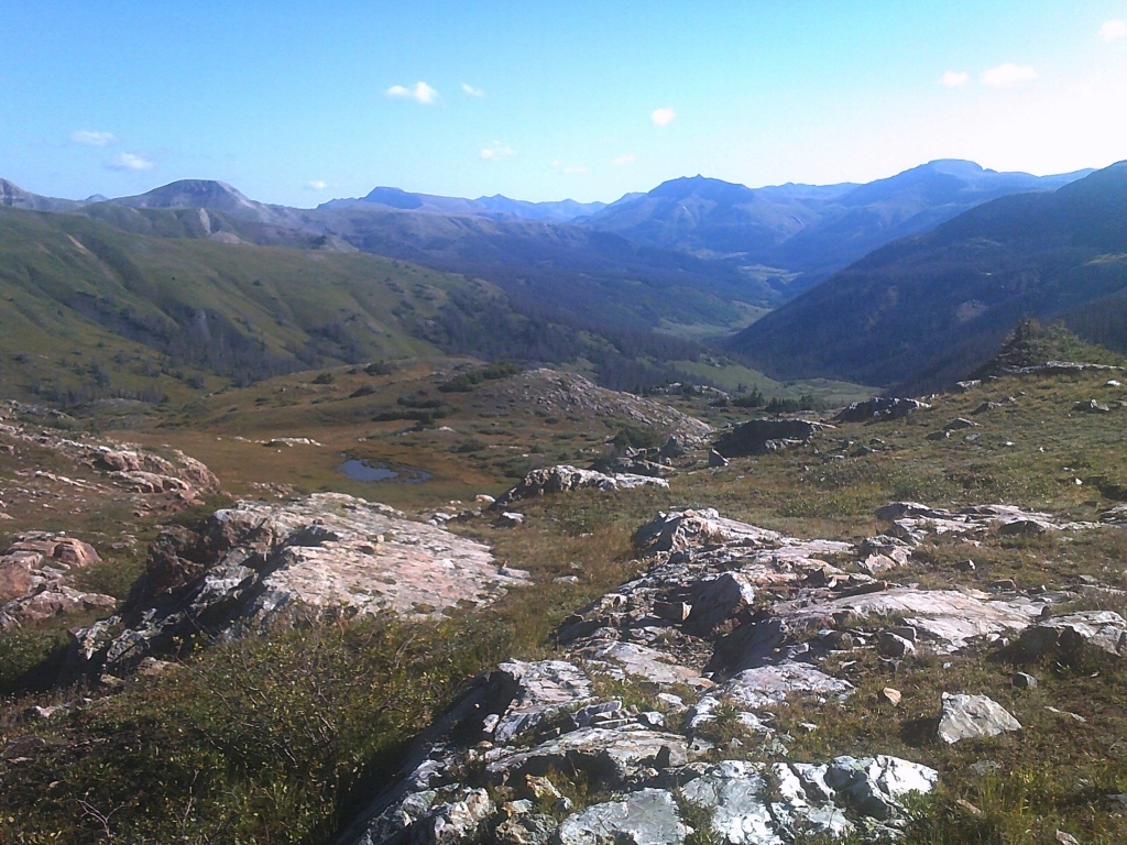
Coming into view further below the second pass, the mountains I first climbed in 1975 - 1977:
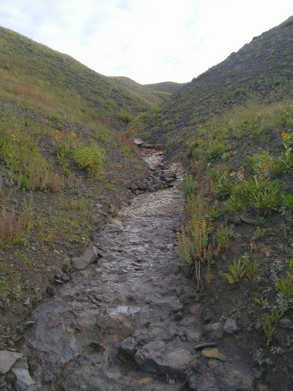
Bad weather, limited time .. so didn't attempt any summits on this hike. Return trip back up to the continental divide using an old stream bed:
On the divide again:
Hiking back down Cunningham Gulch:
Hiking down the road where the hike began four days earlier:
Returning to my "trail-head" camp at 10,200':
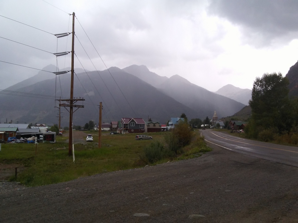
The base town -- Silverton:
After the San Juans expedition, I amused myself at the next camp by cleaning up and shaving, and then getting a picture documenting the post-expedition gauntness:
Here's where I camped that night:
back to trip index --> Click: 2022 Trip