Sangre index <-- back to High ridge bushwhack -------------------- I climbed to this mountain ridge (on the right) from Bear Lake campground. On this climb, I needed to bushwhack through a long steep forest with a complex system of ridges and gullies in order to gain the ridge. A lot of compass navigation in order to find my way back to camp:Nearing a high point on the ridge. Elevation gain was just 1800' on this climb. It was a 2800' elevation gain climbing California Peak:
The next high point comes into view:
Almost down to the saddle again. The forested slope I'd bushwhacked is to the right:
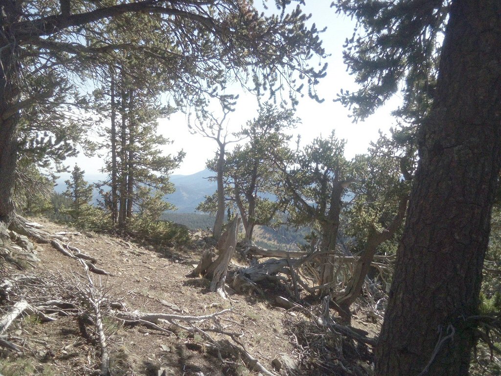
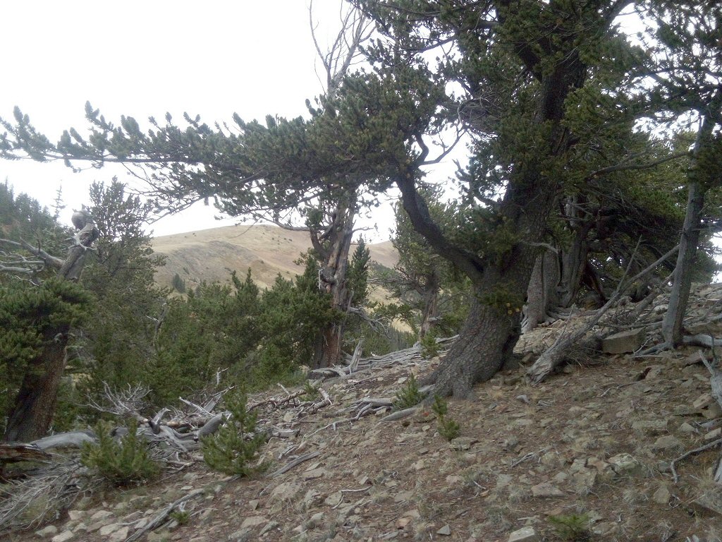
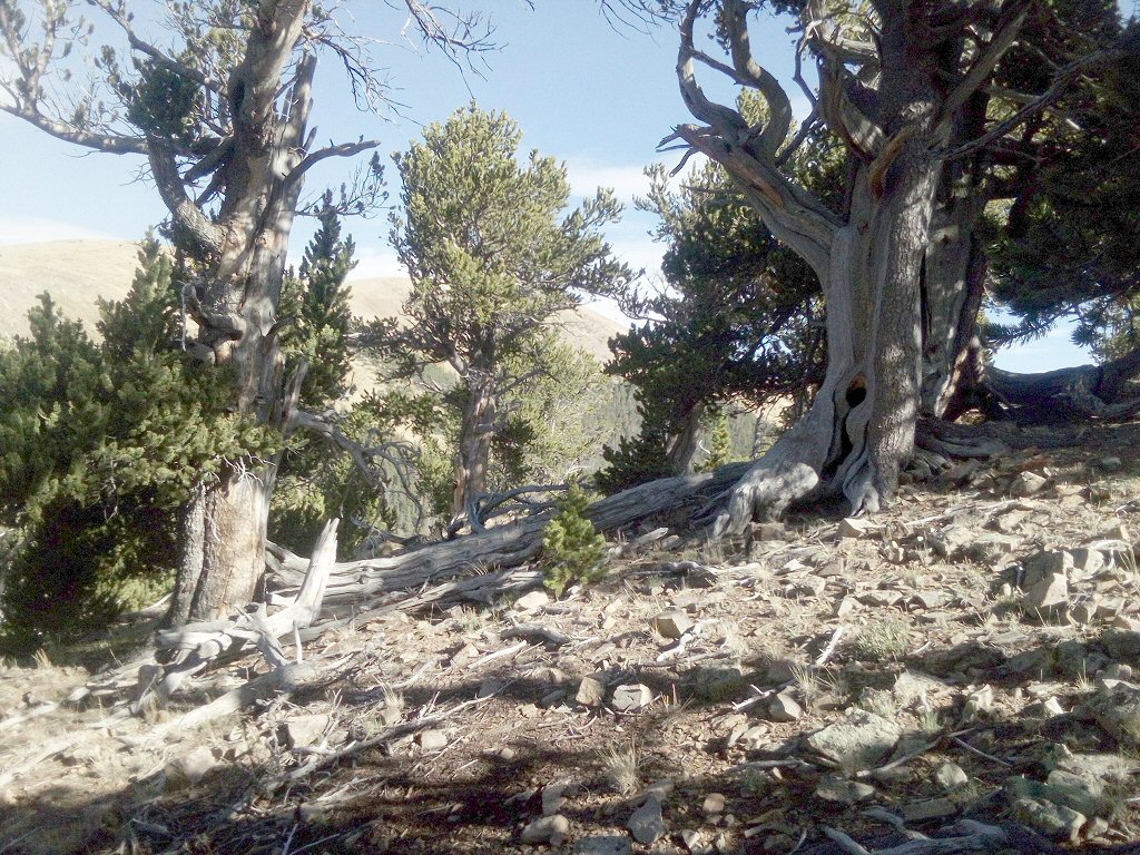
Not far below the ridge line, I hiked through a large section of these gnarly trees covering a high "nob":

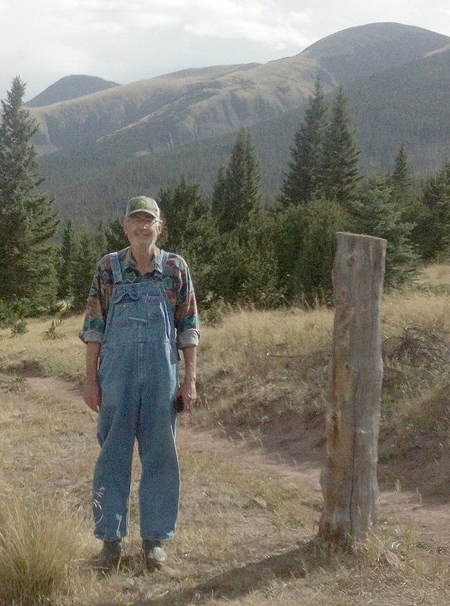
This old-timer visiting from Arkansas cooked lunch for us two days in a row. Fried trout (which he had caught), fried potatoes, fried onions and corn on the cob. I told him I was a vegan, but I set it aside for those two lunches:
We also hiked up to a nearby pass:
Sangre index <-- back to