Sangre index <-- back to Sand dunes ---------- Visitor center right next to where one begins the hike up the dunes: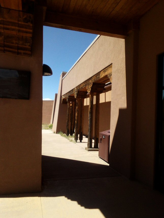
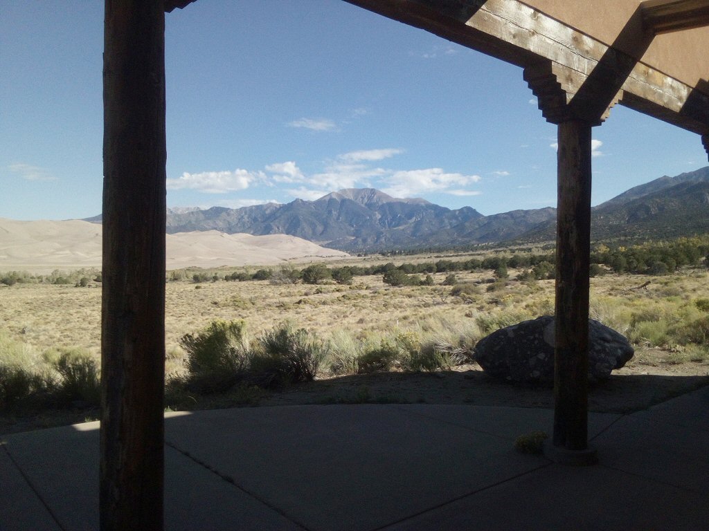
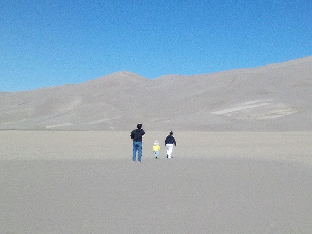
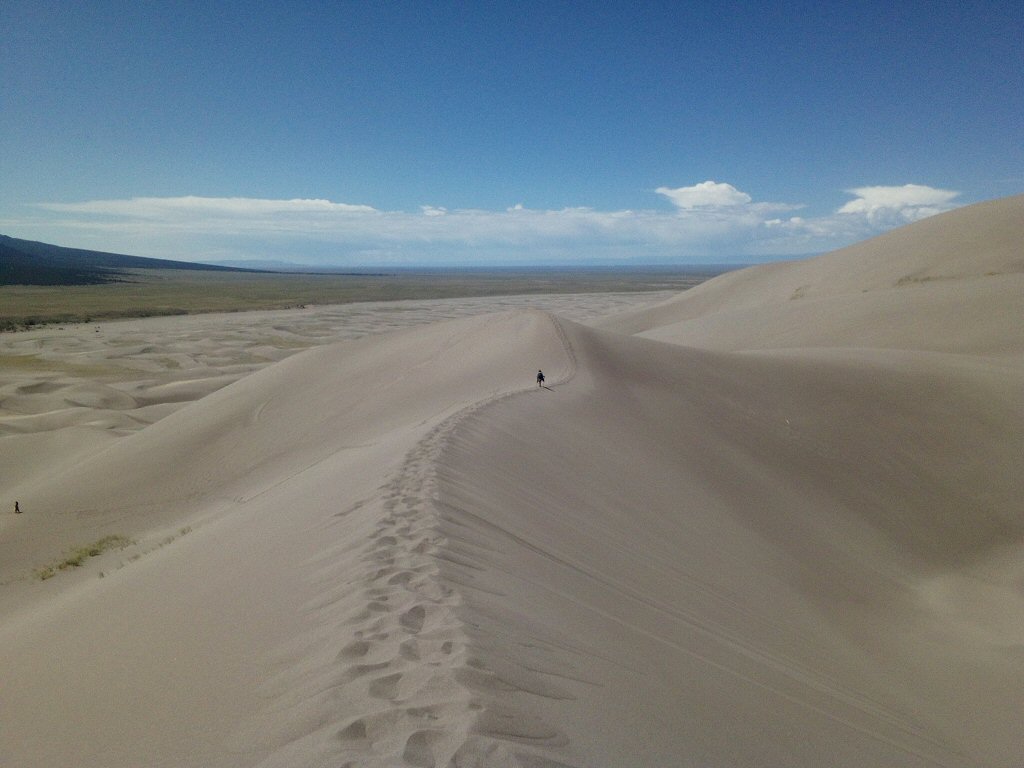
Only two young guys and I went the three miles and elevation gain of 900' (gross) to the highest point, which is another mile beyond the near high point. The sand gives way underfoot with each step. I ran down the steep ridges on the way back.
Only the near high point can be seen in this photo. The actual highest point is hidden further back another mile:
I emptied my boots when I got back down. Analyzing the photo revealed that each boot had 1.77 pounds of sand: (radius = 0.308' 30 deg slope ==> height = 0.178') W = (1/3 pi r^2 h) * (pounds per cu ft)
The desert at the base of the dunes:
Keeping me company: (Here, I'm camped at La Veta town park.)
Sangre index <-- back to